
The US 2026 winter weather forecast highlights a dramatic climate shift driven by a rapidly strengthening El Niño. According to the National Oceanic and Atmospheric Administration (NOAA), there is an 81% probability that a “very strong” El Niño will peak between October and December 2026. Forecasters also predict a 97% chance this pattern will dominate weather systems through early spring 2027.
This oceanic anomaly directly alters the North American jet stream trajectory. The Southern United States is projected to experience significantly wetter and cooler conditions than average. Conversely, the Northern tier—from the Pacific Northwest across the Upper Midwest—faces a warmer, drier winter with reduced snowpack.
Key 2026 Winter Takeaways:
- Overall Trend: A split-flow jet stream typical of a historically strong El Niño event.
- Snowfall Winners: Southern California mountains, the Southern Rockies, and the Southern Plains.
- Snowfall Losers: The Pacific Northwest, Northern Rockies, and the Great Lakes basin.
- Primary Driver: Extreme warming in the central and eastern equatorial Pacific Ocean.
Understanding these sweeping regional changes requires looking at the exact meteorological mechanisms dictating the 2026 winter forecast.
Primary Climate Drivers Shaping Winter 2026
The dominant force for the 2026-2027 winter is the El Niño-Southern Oscillation (ENSO). Current sea-surface temperature anomalies in the key Pacific monitoring region are already exceeding +1.2°C above normal. This massive heat transfer pushes the polar jet stream further north and the Pacific jet stream further south.
While El Niño sets the baseline, atmospheric teleconnections will dictate short-term extreme weather events. A weakened Polar Vortex can trigger Sudden Stratospheric Warming (SSW). When this occurs, it forces dense Arctic air southward despite the warmer global baseline.
Additionally, the Arctic Oscillation (AO) and North Atlantic Oscillation (NAO) remain critical wildcards. A negative phase in either index often blocks weather patterns. This blocking sets the stage for prolonged cold snaps and severe coastal nor’easters along the Eastern Seaboard.
Scientific Models (NOAA) vs. Traditional Almanacs
Homeowners and industries often receive conflicting information when planning for winter. This divergence stems from vastly different forecasting methodologies.
| Feature | NOAA Climate Prediction Center | Farmers’ Almanac / Old Farmer’s Almanac |
| Methodology | Dynamical computer models & ocean-atmosphere coupling data | Proprietary historical, astronomical & solar formulas |
| Confidence Level | Probability-based percentages (e.g., 40% chance of above-normal temps) | Deterministic, specific predictions |
| Best Used For | Risk assessment, seasonal heating budgets, supply chain logistics | Broad seasonal curiosity and entertainment |
For winter 2026, NOAA’s physics-based models heavily weigh the intense El Niño data. Traditional almanacs may predict widespread harsh winter conditions, but climatological data suggests localized precipitation extremes rather than nationwide deep freezes.
Detailed Regional Forecasts & Impact Breakdown
Regional impacts during a strong El Niño vary wildly based on geography and latitude. Here is the data-driven outlook for each US region.
Northeast & New England
The Northeast will likely see temperatures slightly above 30-year climate normals. However, overall precipitation is expected to be above average due to an active southern storm track merging with coastal moisture.
Inland areas may struggle with consistent snowpack early in the season due to warmer baseline temperatures. The I-95 corridor faces a heightened risk of messy freeze-thaw cycles and severe ice storms rather than pure snow events.
Midwest & Great Lakes
A strong El Niño typically shields the Midwest from persistent, severe Arctic blasts. The polar jet stream is projected to stay near the US-Canadian border, leading to warmer-than-average temperatures across the Great Lakes.
Consequently, traditional lake-effect snow belts will likely underperform this winter. However, reduced ice coverage on the lakes means that any transient polar air mass could trigger short, intense bursts of localized heavy snow.
Pacific Northwest & Northern Rockies
The Pacific Northwest and Northern Rockies are the most vulnerable to dry, warm conditions in 2026. The southern shift of the Pacific jet stream deprives this region of consistent, heavy-hitting atmospheric rivers.
Ski resorts in Washington, Idaho, and Montana should prepare for notably below-average snowpack. This dry pattern also poses a severe risk for regional water reservoirs relying on spring runoff for 2027 agricultural needs.
Southwest & Mountain West
The Southwest is positioned to be a major beneficiary of the 2026 El Niño pattern. A supercharged southern jet stream will funnel deep Pacific moisture directly into California, Nevada, Arizona, and New Mexico.
High-elevation resorts in the Sierra Nevada and Southern Rockies anticipate above-average snowfall. Lower elevations must prepare for elevated risks of sudden flash flooding and mudslides following heavy rain events.
Southern Tier & Southeast
The Southern US will endure a distinctly cooler and wetter winter. Constant cloud cover and frequent storm systems tracking across the Gulf Coast will suppress daytime high temperatures from Texas to Florida.
This setup significantly increases the risk of freezing rain and sleet across North Texas, Oklahoma, and the Interior South. The agricultural sector must monitor late-season frost warnings closely to protect vulnerable crops.
Month-by-Month Winter Progression Timeline
Timing is everything for winter preparedness and supply chain management. The 2026-2027 season will evolve dynamically across four distinct phases.
- December 2026: El Niño reaches peak intensity. Expect a slow start to winter in the North, with heavy precipitation immediately slamming the West Coast and Southern Plains.
- January 2027: The primary window for Arctic boundary displacement. This is when the Midwest and Northeast face their highest probability of transient, severe cold snaps.
- February 2027: The southern storm track becomes highly active. Deep Gulf moisture will fuel severe weather outbreaks in the Southeast and heavy, wet snow in the Mid-Atlantic.
- March 2027: Late-winter transition brings rapid snowmelt risks to the Southwest mountains, while the Southeast transitions early into severe thunderstorm season.
Actionable Winter Preparedness & Risk Mitigation Guide
Understanding the forecast is only the first step. Implementing specific mitigation strategies protects residential property and commercial bottom lines.
Homeowner & Property Defense
Expect heating and natural gas demands to drop slightly in the Northern US but rise in the South due to damp, chilly conditions. Northern homeowners must focus on ice dam prevention, as rapid freeze-thaw cycles will be prominent.
Travel & Transportation Logistics
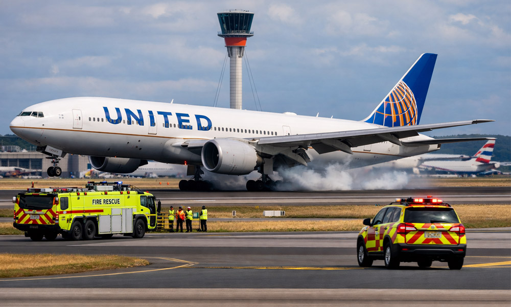
Flight delays will cluster heavily around Southern hubs like Dallas and Atlanta rather than traditional Northern bottlenecks. Fleet managers routing through the Southern Tier should equip vehicles for glare ice rather than deep snowpack.
Outdoor Recreation & Ski Industry Impact
Skiers buying multi-mountain passes should prioritize southern destinations. The Sierra Nevada, Taos, and Southern Colorado resorts hold the highest probability for deep, consistent snowpack in 2026.
Commercial & Agricultural Planning
Southern agriculture faces dual threats from prolonged damp soil conditions and sudden hard freezes. Commercial property managers in the Mid-Atlantic must secure high supplies of salt and de-icer, as mixed-precipitation ice events will demand heavy surface treatment.
Frequently Asked Questions
When does the official NOAA US 2026 Winter Outlook come out?
NOAA continuously updates its seasonal outlooks, but the definitive Winter 2026-2027 forecast is released in mid-October. Final meteorological adjustments are then published in mid-November.
Will 2026 be a snowy winter in the US?
Snowfall will be highly regionalized. The Southern Rockies, Sierra Nevada, and Mid-Atlantic will likely see above-average snow. The Pacific Northwest, Northern Rockies, and Great Lakes expect below-average totals.
How accurate are winter weather forecasts 3–6 months in advance?
Seasonal forecasts rely on probability models to map out broad climate trends. While they accurately identify macro-level patterns like El Niño’s wet and dry zones, specific storm tracks cannot be predicted until a week before an event.